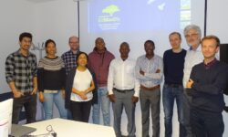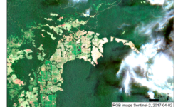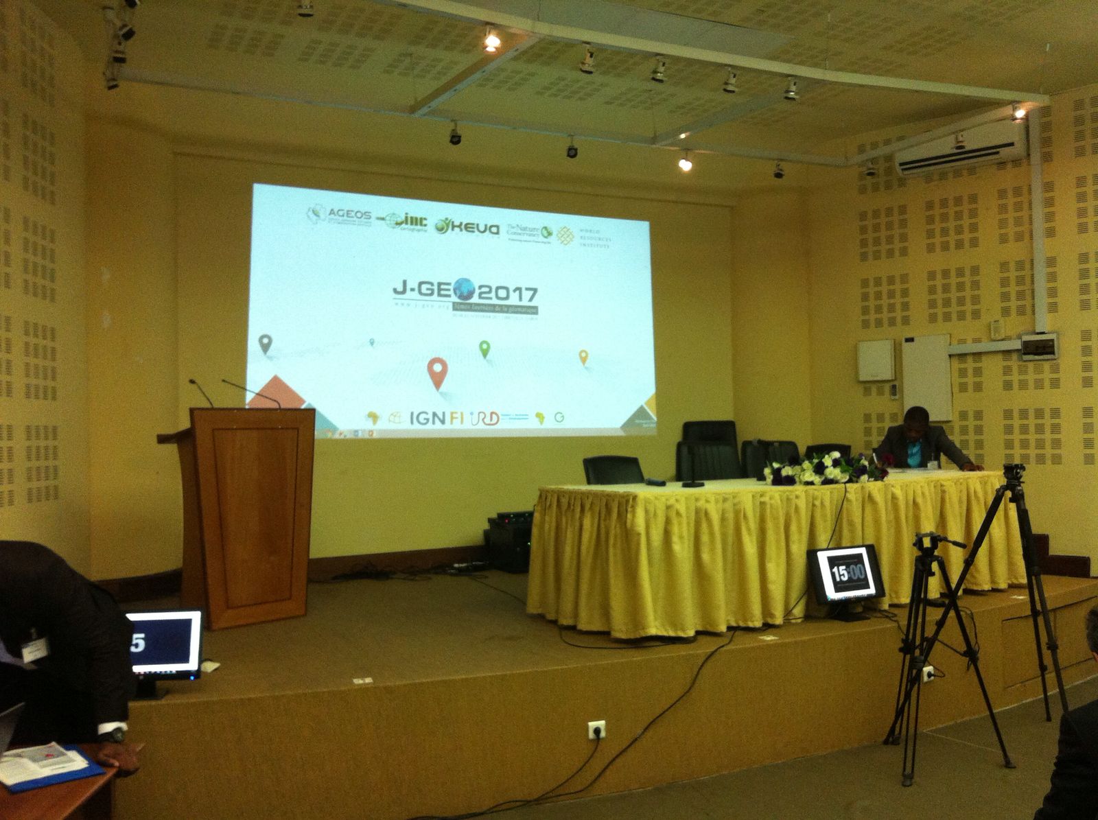
EOMonDis project member SIRS participated to the Geomatic conference “J-Geo” that took place from 8th to 10th of February 2017 in Libreville, Gabon. Under the conference slogan « L’émulation africaine autour des données spatiales : transfert des technologies, appropriation des savoir-faire, renforcement des capacités » the presentations included different topics mainly related to land cover and forestry. Workshops around SAR and Lidar were provided by NASA, Cesbio, DLR and CEOS. Ghana, Benin, Cameroon, Mali, France, USA and Gabon participated actively during the J-Geo. SIRS presented the mapping of Gabon’s forest cover based on near real time change detection, highlighting the benefits of the combination of SAR (Sentinel1) and optical data (Landsat and sentinel 2) and the role of the local partner AGEOS (Gabonease Agency of Studies and Earth Observation) to adapt these tools and techniques for forest monitoring in Gabon.