The animation shows the development of a deforestation site in Gabon between December 2015 and August 2017. This tropical region is almost constantly covered by clouds and therefore clear optical imagery is difficult to acquire. Thus, Sentinel-1 satellite radar data from ESA are a good source of information for near real-time monitoring of forest changes. The Sentinel-1 backscatter data in HH and HV-polarisation are displayed as false colour RGB images with the respective acquisition dates. In these images, non-forest areas like in the western corner typically appear smoother and darker than forest areas. The deforestation advancing from southwest to northeast is preceded by the growth of logging roads that is visible as well. The last slide shows a synthetic RGB image of temporal statistics over time. It is very well depicting the new deforestation areas in bright pink colour. Press F5 for replay.
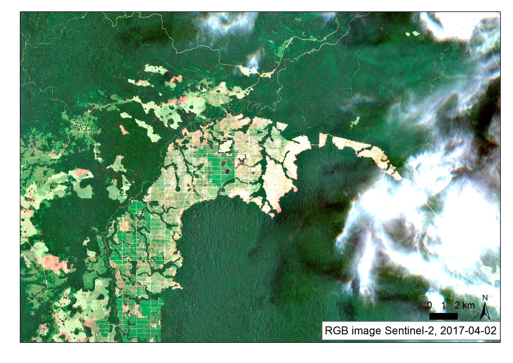
The optical imagery of Sentinel-2 from April 2017 partially covered by clouds and cloud shadows in the east shows again the deforested area.