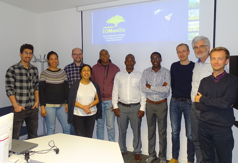
GAF AG organized the second EOMonDis User Validation Workshop for the Malawian counterparts on 21rd of March 2019 at the company’s facilities in Munich. The main objective of the workshop …
REDD+
REDD+
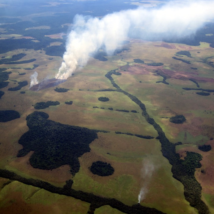
At the UNFCCC Conference of Parties in Montreal 2005, a group of tropical countries initiated a process to address the issue of reducing emissions from deforestation and degradation (REDD)
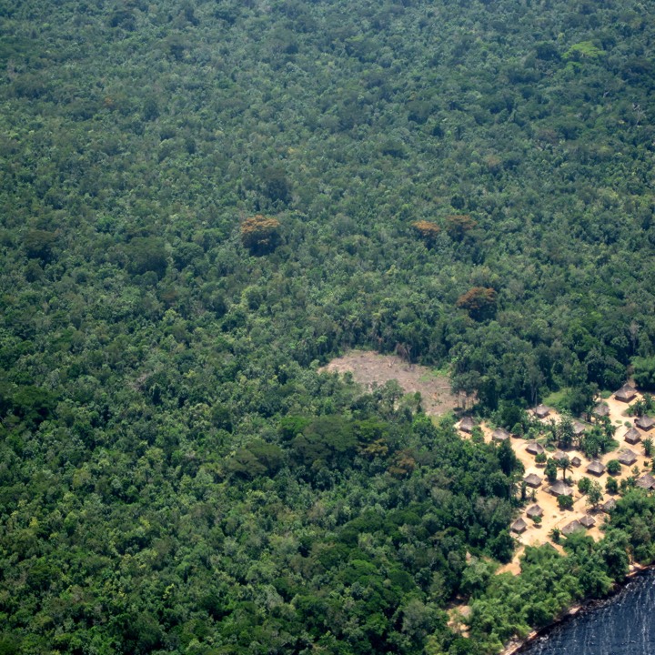
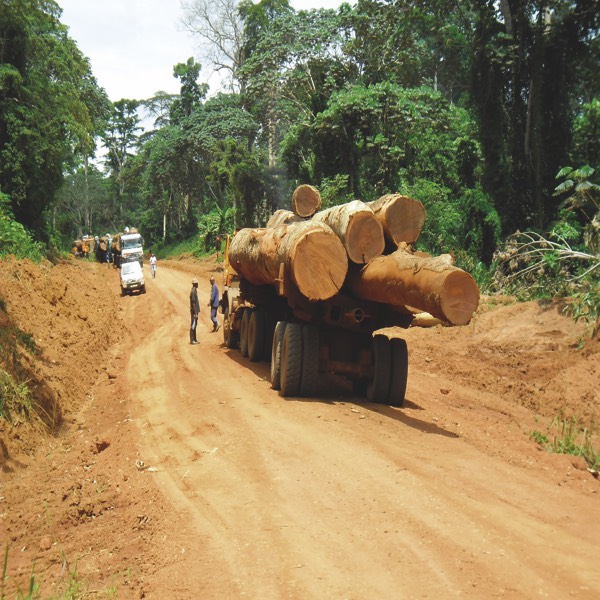
Zero Deforestation
Zero Deforestation
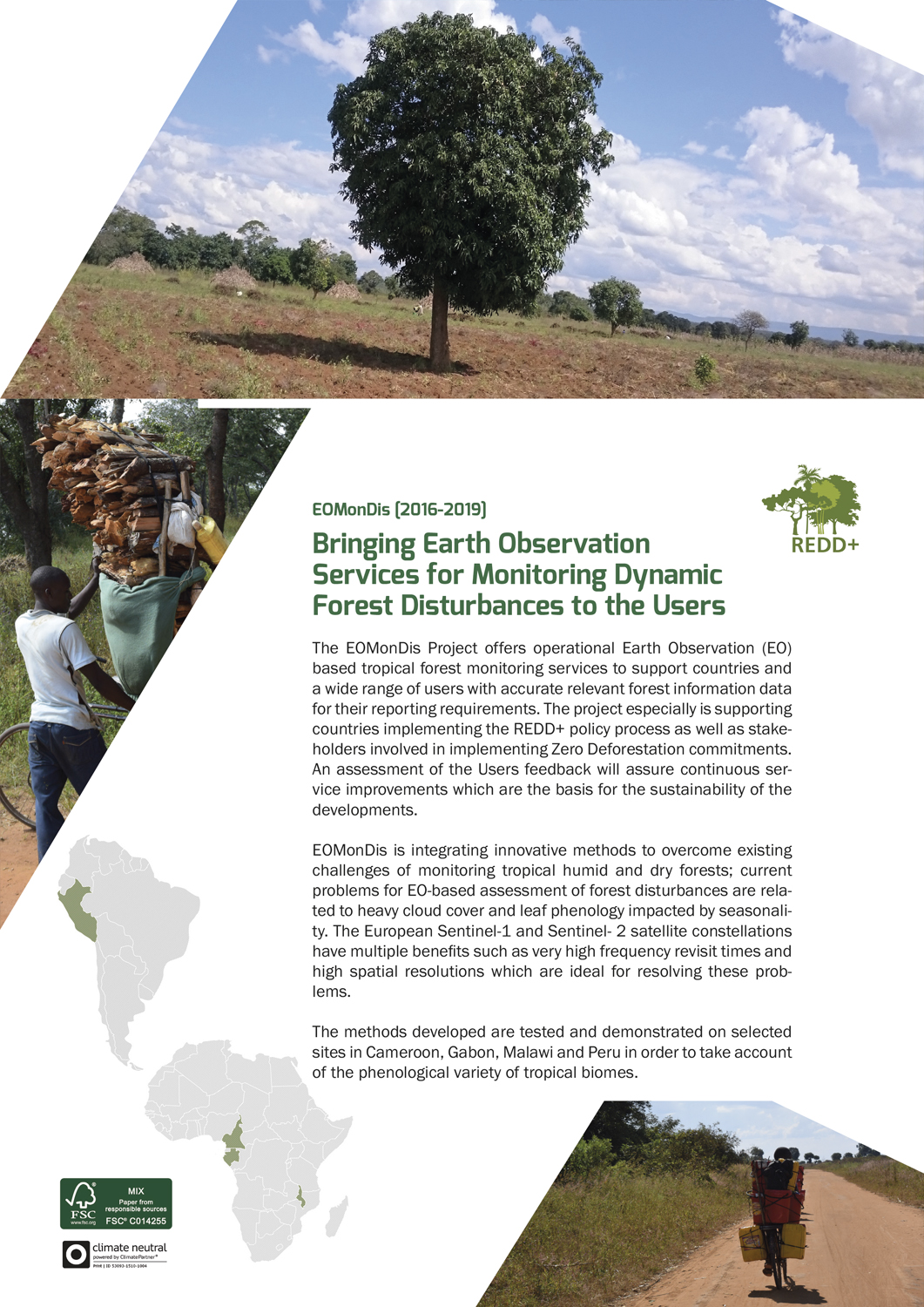
The corporate sector through pressure from civil society and NGO’s want to ensure the sustainability of his supply chain.
H2020
H2020
Horizon 2020 is the European Union Framework Programme for Research and Innovation. It emphasises on excellence science, industrial leadership and tackling social challenges.
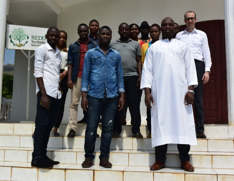
GAF AG jointly organised a workshop with the REDD Secretariat in Youndé to elaborate the requirements of Activity Data (AD) mapping, which is needed for the forest loss reporting in …
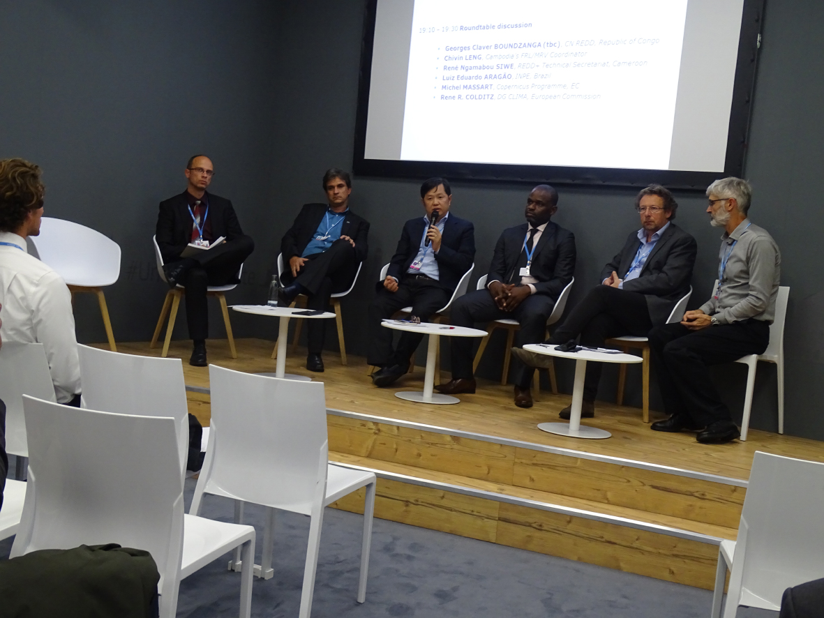
The European Commission and the European Space Agency (ESA) jointly organised a Side Event at the COP23 in Bonn on 9th November 2017. The Side Event, “Progress in monitoring forest …
The COP23 held in Bonn, Germany this year provided an important opportunity for EOMonDis to network with countries involved in the REDD+ process from Africa and L. America but also …
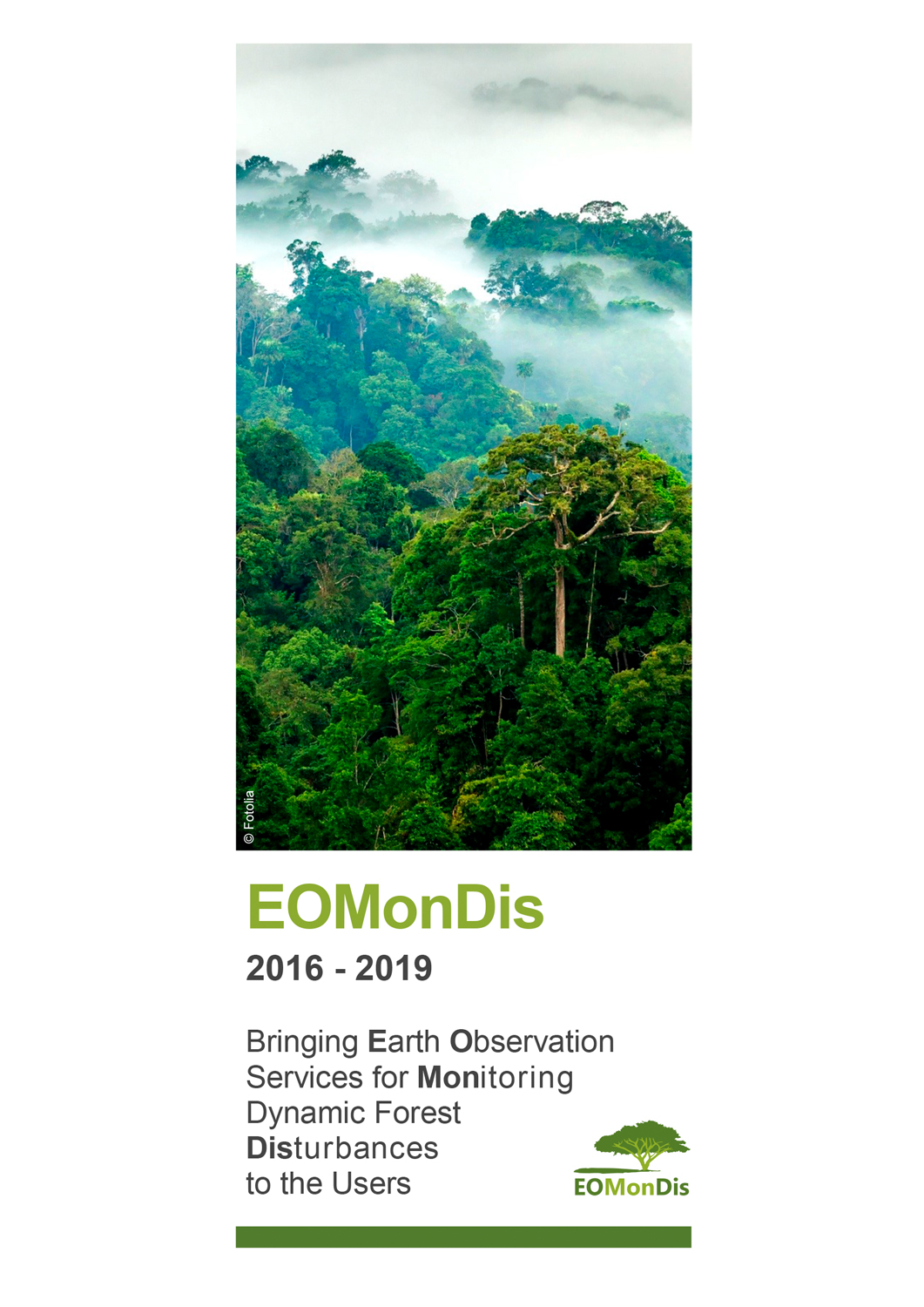
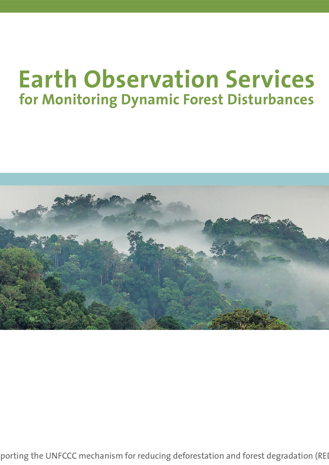
Earth Observation Services for Monitoring Dynamic Forest Disturbances
Earth Observation Services for Monitoring Dynamic Forest Disturbances