EOMonDis
Developing Earth Observation products for monitoring tropical humid and dry forests
Forest/Non-Forest Maps & Change Maps
Accurate mapping of forest/non-forest is a key requirement for reporting in the frame of REDD+ as well as ZD. The integration of new satellite data into inter seasonal dense time series will help to overcome cost intensive cloud gap filling procedures occurring in humid and dry tropical landscapes. Additionally, the project addresses the challenges of mapping dry tropical forest environments where there is a gradual transition between forest and grassland or cropland and aims at better identifying this boundary.
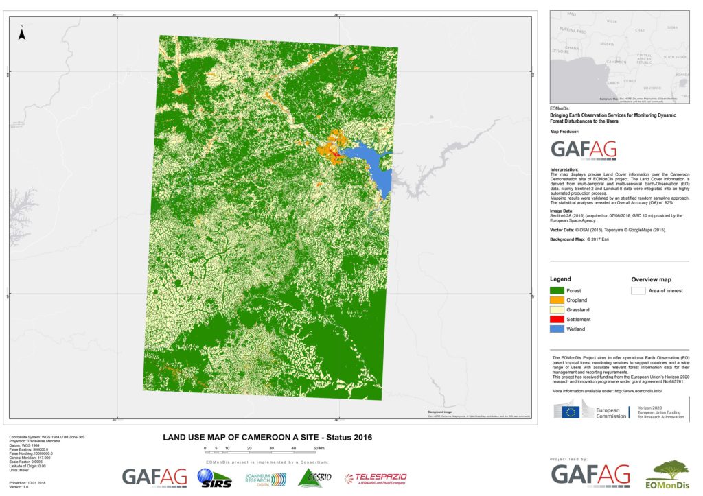
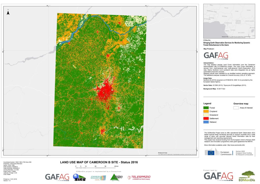
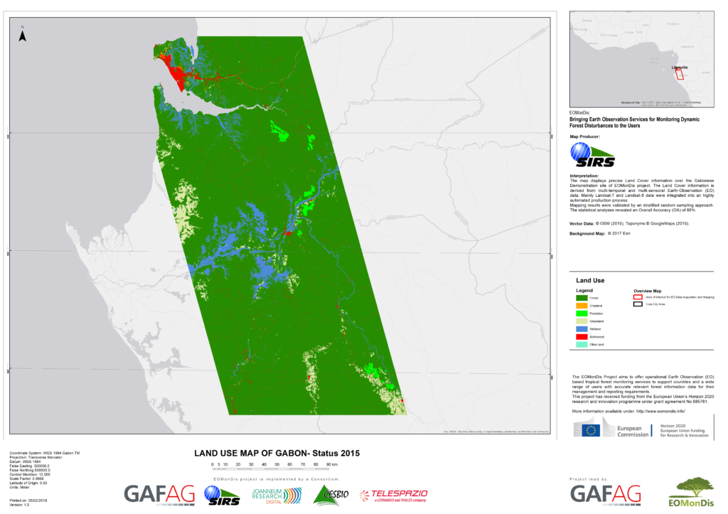
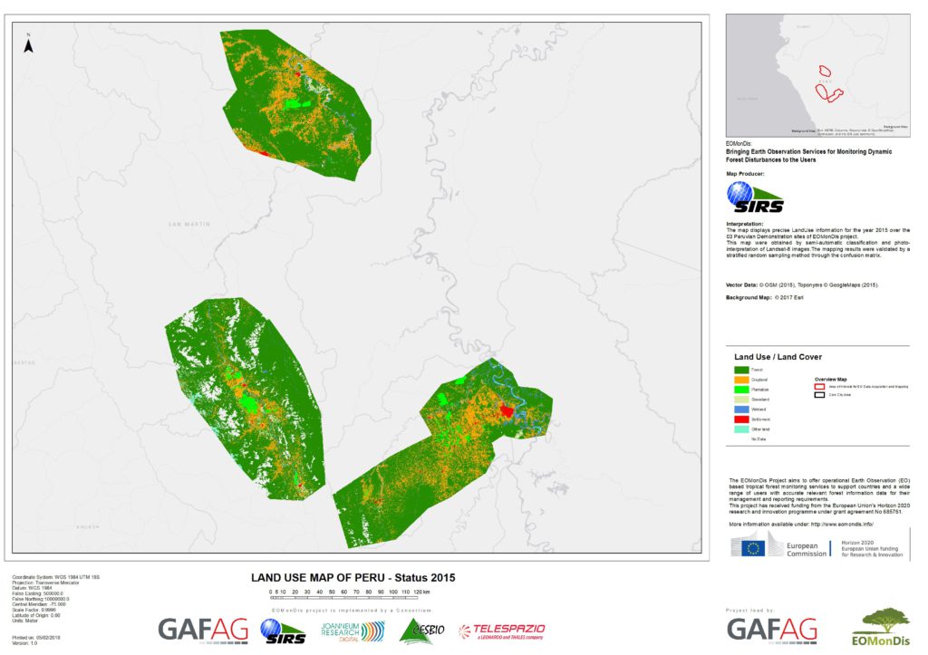
For the demonstration sites in Peru, Gabon, Malawi and Cameroon, multi-temporal EO optical and SAR data sets (Sentinel-1, -2 and Landsat-8) were processed to retrieve the land cover map and the forest cover map for the year 2016 and the forest cover change information for 2010-2016. Map Examples from Cameroon (test sites A and B), Gabon and Peru are provided below.
The Land Use Map displays precise land cover information by using the six thematic IPCC classes Forest, Cropland, Grassland, Settlement, Water and other Land. The mapping results were validated by a systematic random sampling approach. With an Overall Accuracy between 89% and 91.8% for Cameroon, Gabon and Peru (see examples on the left) the demonstrated land cover mapping fully complies with the User Requirements.
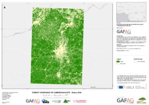
The Forest Cover Map is derived from the land cover classification by recoding the 6 land cover classes into forest and non-forest areas. The Overall Accuracy of the resulting Forest Cover Maps for the demonstration sites in Peru, Gabon, Malawi and Cameroon is even higher than the accuracy of the Land Use Map as the confusion in-between the non-forest classes is removed. See an example of the Cameroonian southern site B on the left.
Based on the Land Cover Map of 2010 and 2016 a Forest Area Change analysis was done. The three thematic classes used in the map of the southern demonstration site of Cameroon on the left hand are comprised of Forest (in 2010 and 2016), Non-Forest (in 2010 and 2016); and Forest in 2010 converted to Non-Forest in 2016 (deforested area). An Overall Accuracy of 84.6% was achieved.


