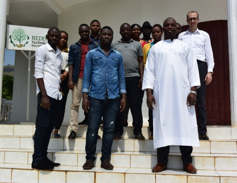
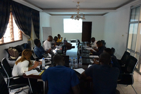
GAF AG jointly organised a workshop with the REDD Secretariat in Youndé to elaborate the requirements of Activity Data (AD) mapping, which is needed for the forest loss reporting in the REDD+ policy. Furthermore, the Copernicus Sentinel satellite constellation was presented and the use of openly accessible Sentinel-2 data demonstrated. With the high temporal resolution of 5 days, the optical Sentinel-2 satellites are best suited to track deforestation and forest degradation. By a joint use of Sentinel-2 and Landsat data the challenge of heavy cloud cover in tropical regions can be tackled. The workshop entailed a training on the SNAP Software that was specifically designed by the European Space Agency to process and analyse Sentinel data. With fifteen participants from different Institutions a fruitful discussion will lead to further improvements and adaption of the promoted EOMonDis forest monitoring service.